Old Farmer’s Almanac Predicts Challenging Winter 2026-2027 with Super El Niño Impact
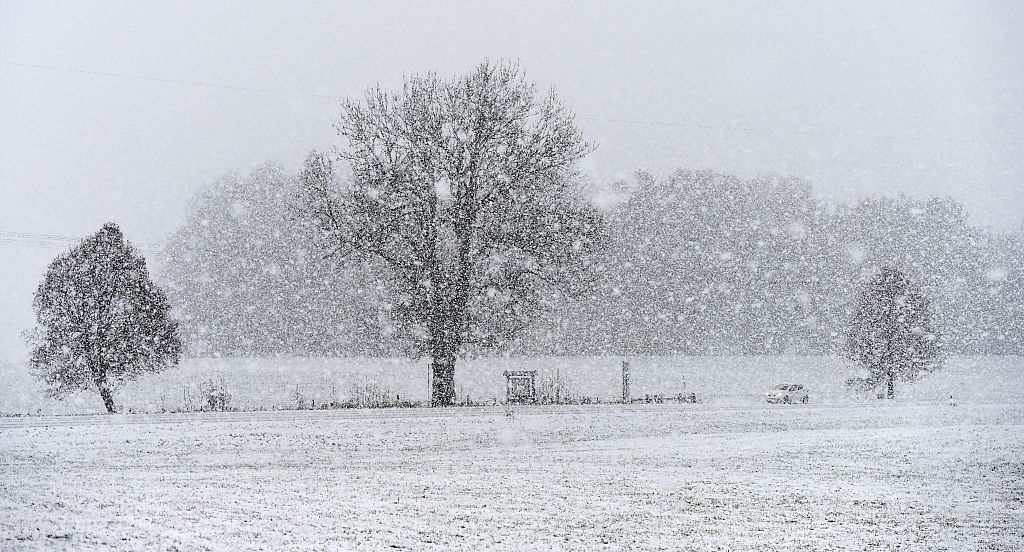
The Old Farmer’s Almanac has issued its Winter 2026–2027 forecast, highlighting the influence of a strengthening Super El Niño on U.S. weather patterns. Ocean temperatures in the tropical Pacific are rising, a key factor that can disrupt the jet stream and trigger major winter storms. As these climate signals interact, millions of Americans may encounter wet conditions, heavy snow, icy mixes, or abrupt cold snaps entering the new season.
Winter Forecast Highlights
According to the Almanac, El Niño is “officially underway” and expected to intensify. It will join other climate patterns — such as elevated solar activity and long-term ocean cycles — that will influence the upcoming winter.
The Almanac predicts a season of contrasts, with various regions experiencing different conditions. Forecasters foresee an active southern storm track, leading to wetter-than-normal weather from Southern California across Texas, the Gulf Coast, and into the Southeast. These areas may experience frequent storms, muddy conditions, and interactions of cold air with moisture, resulting in sleet, freezing rain, or heavy, wet snow.
In the North, conditions appear more volatile. The West, northern Plains, Upper Midwest, and Great Lakes should see near-normal average temperatures. However, “near normal” does not guarantee calm weather. Fast-moving clippers, sudden cold snaps, and bursts of icy air are expected, along with brief thaws.
Inland parts of the Northeast might face multiple rounds of heavy, wet snow, while coastal regions could encounter more rain or mixed precipitation as storm paths change.
Impact of Super El Niño
El Niño acts as a major factor shaping the upcoming winter, with this year’s event intensifying rapidly. Warming in the tropical Pacific alters the jet stream, a high-altitude airflow that directs storms across North America. Typically, a strong El Niño pushes the jet stream south, enhancing storms and channeling moisture into the southern U.S.
A Super El Niño, characterized by extremely warm Pacific waters, could amplify these effects. Wetter conditions are more probable in the southern tier, while northern states may face variable patterns, including quick cold snaps and alternating thaw and freeze periods.
Crystal Egger, an Emmy-winning meteorologist, notes that a stronger El Niño tends to strengthen the subtropical jet, sending more storms into the southern U.S. This shift can increase opportunities for significant rain and flooding, particularly in California, the Southwest, and the South.
Florida may notice more severe weather, including tornadoes, during El Niño winters. When storm systems meet cold air pockets, they can produce significant winter weather events like snow and ice storms.
The Polar Vortex’s Role
The polar vortex, a large mass of cold Arctic air near the North Pole, remains a potential wildcard. If its circulation weakens or shifts, extremely cold air can spill south, causing severe cold outbreaks in parts of the U.S.
Forecasters monitor the Quasi-Biennial Oscillation (QBO), a pattern of high-altitude winds near the equator, which can affect the polar vortex later in the season. If the vortex destabilizes, regions anticipating near-normal temperatures might experience sudden extreme cold.
Egger emphasizes that previous El Niño winters demonstrate the unpredictability of these interactions. The biggest challenges often arise from complex factors, not individual storms. No two El Niño events have identical outcomes.
Accuracy of the Almanac’s Predictions
The Old Farmer’s Almanac claims an average accuracy of around 80% for long-range weather forecasts. Last winter, it reported an overall accuracy of 86.1%, with an 88.9% success rate for temperature trends and an 83.3% accuracy for precipitation predictions. Their forecast of snow in the Southeast was accurate when a rare January storm brought up to nine inches of snow from Mobile to Pensacola, with eight inches in New Orleans.
The Almanac’s method combines a proprietary formula from 1792 with modern meteorological tools. Forecasters use solar activity, historical data, and long-term climate signals to create seasonal forecasts. While independent reviews often find lower accuracy than the Almanac reports, it remains a longstanding source for long-range forecasts in North America.
Egger warns against misunderstanding what “Super El Niño” means. A strong El Niño generally decreases Atlantic hurricane activity, but fewer hurricanes do not mean less impact. A single storm can have substantial effects.
Egger advises businesses and households, “Don’t wait for the weather to become a crisis before understanding its impact on your operations. The best preparation is knowing your risk before it becomes a problem.”