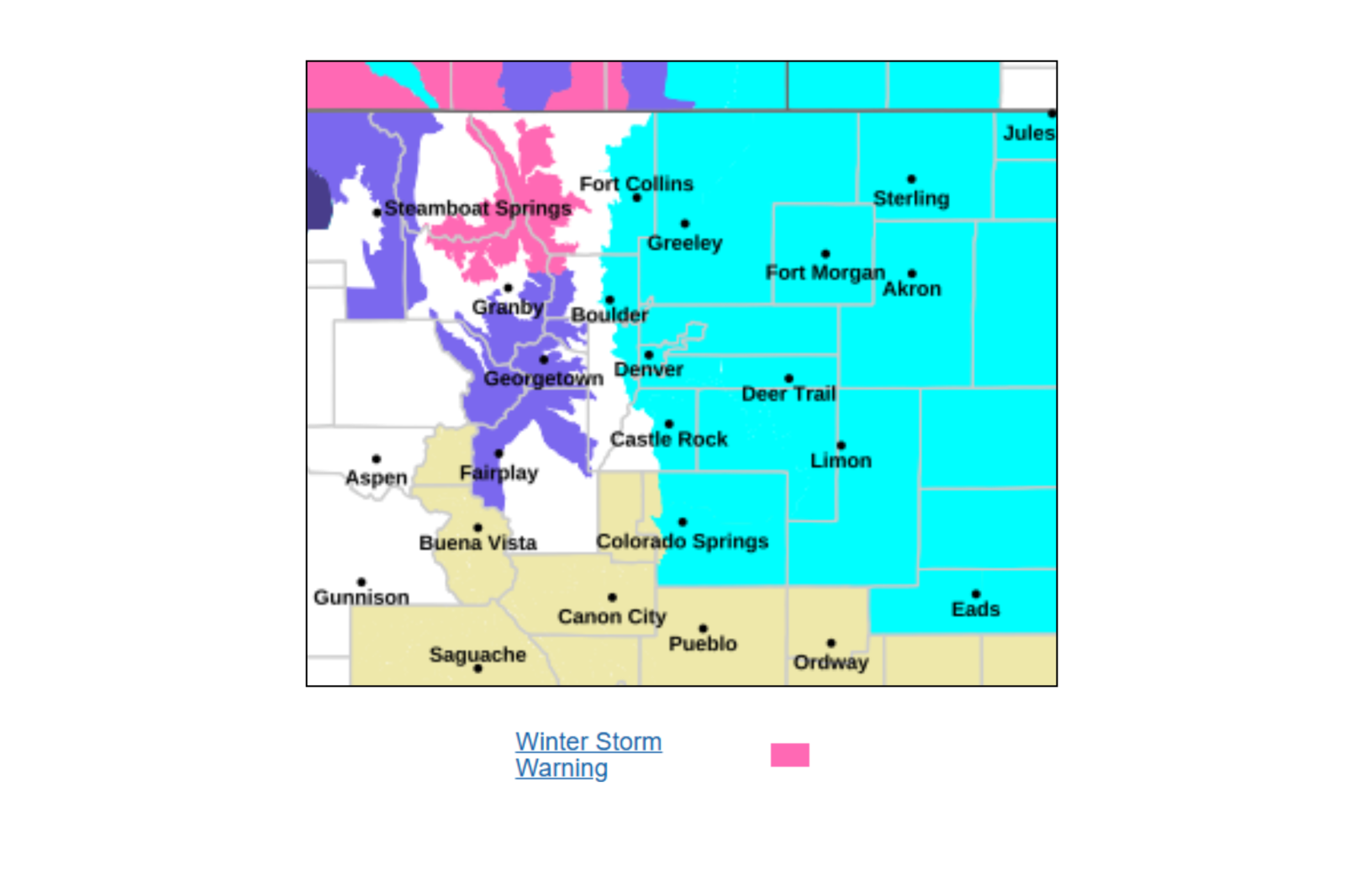
Severe Winter Storm to Impact Wyoming and Colorado
A late-season winter storm is poised to significantly impact parts of Wyoming and Colorado. The National Weather Service (NWS) warns of snow accumulations reaching up to 20 inches and wind gusts as high as 60 mph. The storm is expected to create hazardous travel conditions, include near-zero visibility, and cause potential power outages due to heavy, wet snow impacting trees and power lines.
Local Impacts and Disruptions
This winter storm will likely disrupt daily life across affected areas, including:
- Power outages due to snow accumulating on tree branches and power lines.
- Significant impacts on Monday morning and evening commutes.
- Difficult access to rural and mountainous areas.
- Possible delays or disruptions in schools and local services, especially in higher elevations.
- Hazardous conditions for outdoor activities and work.
- Tree damage in areas where trees already have spring leaves.
Winter Storm Overview: Affected Regions
The NWS has issued winter storm warnings for extensive sections of Wyoming and Northern Colorado, emphasizing higher elevations and mountain areas. Crucial regions include:
- In Colorado, elevations above 9,000 feet like Rocky Mountain National Park and Medicine Bow Mountains.
- In Wyoming, ranges like Snowy Range, Wind River Mountains, Sierra Madre Range, and areas around Casper Mountain.
- The Interstate 80 corridor near Arlington and Elk Mountain.
Weather Conditions and Snow Accumulations
The storm will bring heavy, wet snow that clings to trees and infrastructure, along with strong winds between 30 and 60 mph. Blowing and drifting snow are expected, diminishing visibility significantly.
In Colorado, areas like the Rocky Mountain National Park may receive between 8 and 18 inches of snow. The highest snowfalls are anticipated on east-facing slopes.
In Wyoming:
- The Snowy Range and north Laramie Range could see 10 to 20 inches.
- Wind River Mountains with potential snow totals reaching 18 inches and gusts up to 60 mph.
- Casper Mountain expecting between 10 and 18 inches with strong winds causing blowing snow.
- Sierra Madre Range may receive up to 15 inches, with wind-induced blowing and drifting snow.
Travel Warnings and Safety Recommendations
The storm will make travel “very difficult to impossible,” mainly in high-elevation zones and major transport routes. Travelers should be aware of:
- Snow-covered and icy roads, especially on bridges.
- Blowing snow creating whiteout conditions.
- Sudden reductions in visibility, occasionally dropping under a quarter-mile.
- Increased risks of vehicles getting stranded.
Major routes affected include Interstate 80 in Wyoming, and Highway 20 to 26 between Hiland and Casper, in addition to mountain passes in Colorado and Wyoming. The NWS advises against travel if possible, but if essential, drivers should:
- Carry emergency supplies like food, water, a flashlight, and shovels.
- Allow extra travel time and maintain space between vehicles.
- Prepare for swiftly changing conditions.
Conclusion
This storm is a significant winter event indicating heavy snow, strong winds, and widespread travel challenges across Wyoming and Northern Colorado. Those residing in affected areas need to prepare immediately and avoid non-essential travel. Conditions are expected to deteriorate rapidly through Monday.