Trump Administration Unveils 10-Year Plan for Colorado River Water Shortages
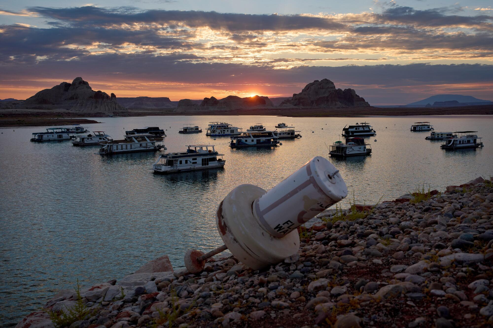
A recently grounded buoy at Lake Powell highlights the severe water crisis affecting the Glen Canyon National Recreation Area near Page, Nevada. This situation underscores the urgent challenge facing the Trump administration as they introduce a 10-year strategy to address declining water levels along the Colorado River.
The newly announced plan accommodates severe water usage cuts when required, potentially reducing allocations for California, Arizona, and Nevada by up to 3 million acre-feet annually, equating to a staggering 40% cut. However, initial agreements allow these states to collectively decrease their consumption by 3.2 million acre-feet until the end of 2028, thereby sidestepping the most extreme reductions for now.
Friday’s announcement aims to mediate the conflict between the downstream states and their upstream counterparts — Colorado, Wyoming, Utah, and New Mexico. Andrea Travnicek, the Interior Department’s Assistant Secretary for Water and Science, emphasized the plan’s focus on tackling “unprecedented hydrologic conditions.” Despite clear ties to climate change, the administration’s statement did not address it directly.
Extensive research attributes a significant portion of the Colorado River’s diminishing flow to escalating temperatures from fossil fuel emissions and greenhouse gases. Under the proposed two-year arrangement, usage reductions will be as follows: California at 12%, Arizona at 31%, and Nevada at 28% by 2028.
The Interior Department emphasizes adaptability, ensuring responses to the river’s evolving conditions through 2036. A vital water source for seven states and northern Mexico, the Colorado River has experienced drastic shrinkage with Lake Mead and Lake Powell plummeting to their lowest levels recorded.
This year marked the deadline for revised federal rules due to the expiration of previous guidelines amid ongoing debates among the basin’s states. Researchers found higher temperatures account for half of the river’s flow decline, projecting further drops of approximately 9% with each 1.8-degree increase in regional temperatures.