Late-Season Winter Storm Brings Heavy Snow to Montana and Wyoming
A winter storm is set to deliver substantial snowfall to parts of Montana and Wyoming. Forecasters indicate that some mountainous regions could see over a foot of snow accumulation by Thursday.
Snowfall in high elevations during May is typical. However, the timing and power of this storm highlight winter’s persistence into late spring. Such heavy snow can disrupt travel along mountain routes frequented by recreational visitors. This may also impact early outdoor activities and local economies.
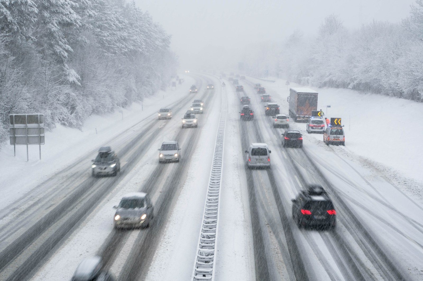
Fluctuating temperatures and snow accumulation can create unstable conditions at higher altitudes. This increases risks such as avalanches and delayed runoff effects later in the year. The National Weather Service (NWS) in Billings has issued a winter storm warning for parts of southern Montana. A winter weather advisory also stretches across areas in both states.
Montana Winter Storm Warning
A winter storm warning affects the Absaroka and Beartooth Mountains, including Cooke City, from 6 p.m. Wednesday to 6 p.m. MDT Thursday. Heavy snow, mainly on north-facing slopes above 7,000 feet, is expected. Total accumulation may range from 8 to 13 inches with wind gusts up to 30 mph.
The NWS warns that recreation and travel in these areas could be heavily impacted. People venturing into mountainous terrain should be prepared with emergency supplies such as extra food, water, and a flashlight.
Visual weather data from windy.com shows key areas where the heaviest snow is likely over the coming days.
Wyoming Winter Weather Advisory
A winter weather advisory applies from 3 a.m. to 9 p.m. MDT Thursday for the Pryor/Northern Bighorn Mountains in Montana and the Northeast Bighorn Mountains in Wyoming. This includes regions near Burgess Junction and Story.
Snow accumulations are expected between 5 to 10 inches. Wind gusts could also reach 30 mph. The advisory notes that travel conditions may become difficult, particularly in the morning and evening.
Roads, including U.S. Route 14, might become slippery and dangerous as snow builds up and winds strengthen. Drivers are advised to slow down and be especially cautious as conditions change rapidly. Official sources recommend checking road conditions before travel and staying up-to-date with weather forecasts.
Additional Weather Activity
In lower elevations, thunderstorms and rain are anticipated across the region due to a passing cold front. According to NWS Billings, “Showers and weak thunderstorms will spread south and east over the area this afternoon and evening as a cold front passes through.” Potential impacts include gusty, erratic winds, minor hail, and short downpours.
Cold Weather in Great Lakes Region
Over in the Great Lakes, NWS offices reported frost advisories and freeze warnings with the onset of cold weather. These advisories affect northeast Minnesota, northern Wisconsin, and parts of Michigan including the Upper Peninsula. The freeze warnings are more serious than frost advisories, focusing mainly on Michigan.
Windy.com offers animated temperature maps to depict the cold conditions moving across the area.
Preparatory Measures
The storm warnings and advisories are expected to expire by Thursday night. During the storm, residents and visitors in both Montana and Wyoming should:
- Stay informed by consulting local NWS updates and department of transportation road reports before traveling.
- Adopt safer driving practices, as spring tires may not handle the slushy conditions well.
- Ensure to pack the essentials like waterproof layers, heavy thermal clothing, and an emergency cold-weather kit when heading into backcountry areas.